For much of my childhood in the Berkshires region of western Massachusetts, I didn’t give a hoot about the Housatonic River. In contrast to the many lakes where my brother and I would swim or skate, attend Scout camps or sprawl out for family picnics, the hushed and shaded Housatonic seemed unfamiliar and at times downright eerie. Notions of Edenic riverbanks came from my mom reading “The Wind in the Willows” out loud after dinner — not from encounters with the actual river that flowed 330 yards from our front door.
Later, I came to associate the Housatonic with sorrow. An arched bridge over it, which I crossed on my walk to high school, marked the transition from home to the stresses of my teenage years. I learned, too, that reaches of the river acclaimed by Melville, Ives and Longfellow were laden with PCBs, an industrial pollutant.
Tourists, taking their cue from locals, have only rarely ventured down to the Housatonic’s banks. But in recent years, the river’s cleanup (the next stages of which remain a source of fierce community debate) has reminded everyone who loves the Berkshires that the Housatonic needs our attention and — whether from a canoe or a riverside trail — abundantly rewards our affection.
‘Beyond the mountain place’
The Hoosie, as locals call it, rises from several sources in central Berkshire County, joins up in my hometown, Pittsfield, Mass., and then parallels the Hudson River to the west and the Connecticut River to the east on its approximately 150-mile journey south toward Long Island Sound.
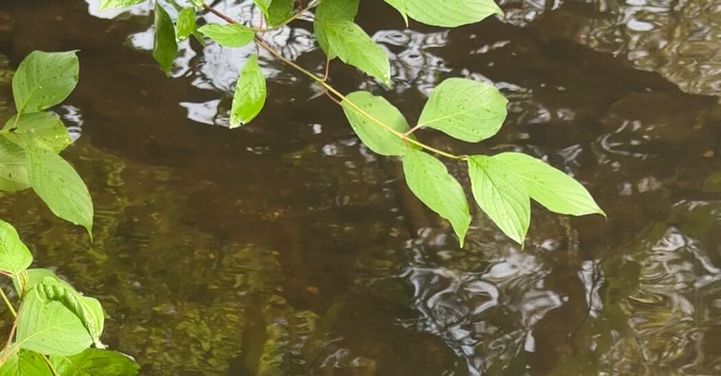
To experience the river’s loftiest reaches — Housatonic, in Mohican, means “beyond the mountain place” — walk the Berkshire Natural Resource Council’s Old Mill Trail in Hinsdale and Dalton, Mass., a few miles downstream from Muddy Pond, the Housatonic’s highest source and the start of its eastern branch.
This 1.5-mile riverside path leads through hemlock and hobblebush to overgrown reminders — the foundations of old mills, and the trenches that formerly channeled hydropower — of the industry that once capitalized on the Housatonic’s precipitous descent from Hinsdale to Dalton, where paper for U.S. currency has been produced since 1879. Grab a leaflet or scan the trailhead QR code to better appreciate the region’s natural and socioeconomic history, and don’t forget to sign the logbook, tucked away by a pair of benches. Previous entries include “Holy crap it’s cold,” “Thank you to the trail…
Click Here to Read the Full Original Article at NYT > Travel…