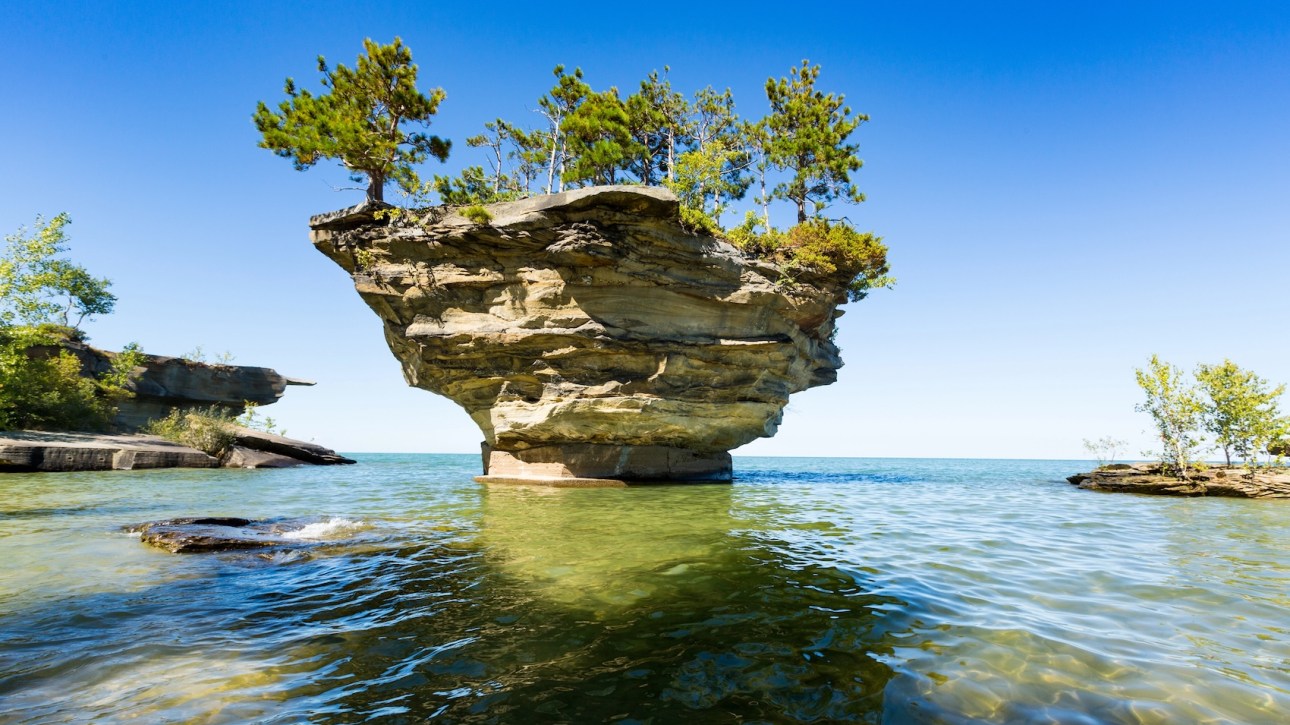
Along the Michigan tip thumb shoreline, located a geologic formation called Turnip Rock, estimated to be thousands years old. This dolostone stack has been severely undercut by wave erosion over millennia. It’s just offshore from the historic gated community of Pointe aux Barques, so the best way to see Turnip Rock is by boat.
The small base of the rock supports a larger top, giving it its iconic turnip-like appearance. Its unique appearance has made it a popular tourist attraction, although it is located entirely on private property. The only access to Turnip Rock is by water, and there is no public road access.

Photo by depositphotos.com
Most of the visitors opt to kayak from the village of Port Austin, launching from Bird Creek county park, Veterans Waterpark, or Port Austin State Harbor-or a seven-mile paddle out in batch that takes two to four hours.
Once at Turnip Rock you can also see a formation called Thumbnail Point and explore seacaves.
Local businesses offer kayak rentals and boat tours. This is the long paddle -sometimes in open water. Weather on the Great Lakes can change in an instant. So be sure to check local marine weather conditions. And remember that wind speed and direction can make the journey dangerous. So wear a life jacket and bring plenty of water and sunscreen.
Address:
Port Austin, Michigan, 48467
United States
Location on Google Maps.
Related
Discover more from Unusual Places
Subscribe to get the latest posts sent to your email.
Click Here to Read the Full Original Article at Unusual Places…
