Maps can be cumbersome things. Especially when it’s windy. They can be pretty confounding even when the elements are in your favour. But we’ll come to that.
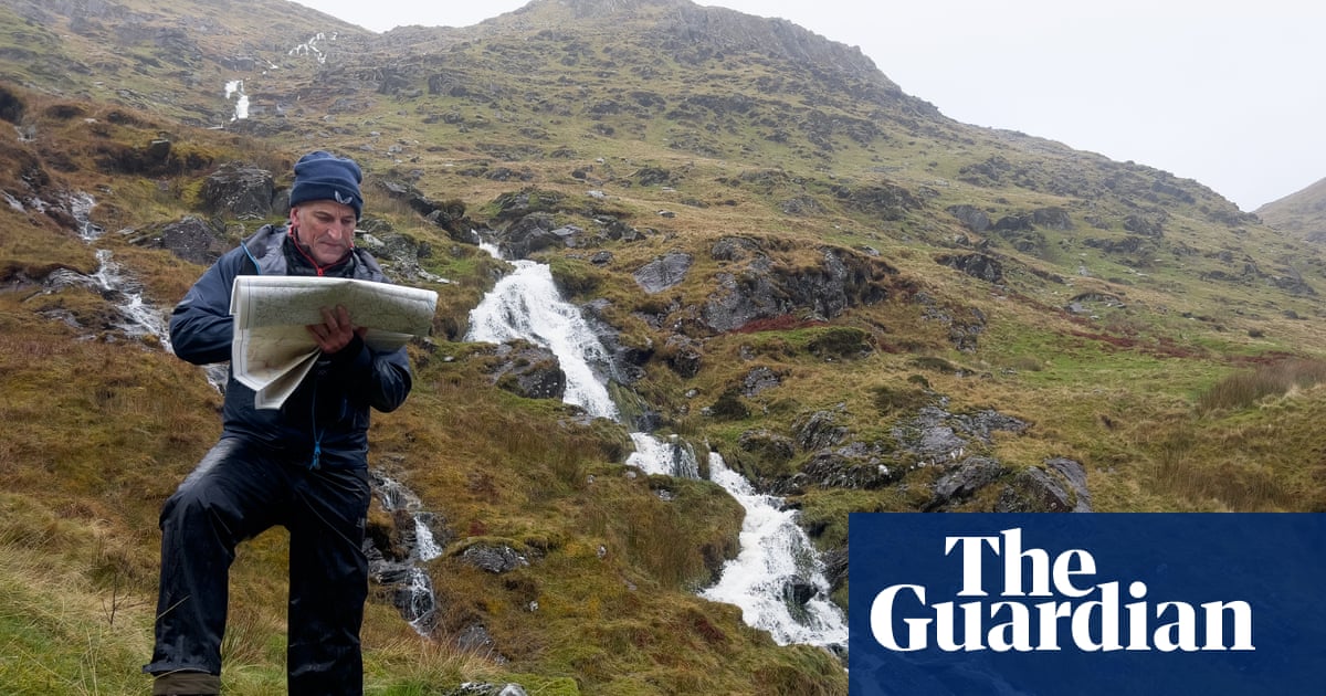
We were on a hill – not the technical term – in Snowdonia (Eryri national park), attempting to find first a path, then a boundary line, and then a spur of land – at night-time. Each member of our group was equipped with a map, a compass and a head torch. The wind was high, the sun was down and it could have all felt like an uphill slog. But it was, in fact, exhilarating. The last time I did this, and the last time I felt this energised by the elements and shadowy surroundings, I was 11 years old and yomping about with the Scouts.
Back then, I would have been in the rump of the group, while an older and more responsible boy was entrusted with the map and compass to lead our little troop across craggy terrain. Ever since, I’ve always managed to buddy up with a more technically gifted walker able to read the runes. But I’ve never lost the topography of envy, and the slight sense of unease about striking out alone or straying too far from waymarked paths.
Which is why I find myself sitting in a classroom with five other learners on a two-day navigation course at Plas y Brenin, the national outdoor centre, in Capel Curig. The first thing we are told by our instructor, Grace, is that the contour is the king. “Other things on the map, such as boundaries, buildings, woods and paths, can change, but contours are less likely to.”
These reddish-brown lines spaced at regular intervals paint a two-dimensional picture of the landscape around us and tell us whether it’s flat (widely spaced contours), undulating (round) or steep (close together). They tell you which way is up (the numbers on every fifth contour will be legible) and which is down (numbers will be upside down). There’s lots more to take in besides: map scaling, setting the map to north with a compass, spotting ring contours and re-entrants, calculating height and distance. But you can only learn so much in the classroom, so we head out into the hills happy to follow contours as our king.
Click Here to Read the Full Original Article at Travel | The Guardian…