This post may contain affiliate links. We may receive a small commission, at no cost to you, if you make a purchase. Read Disclosure.
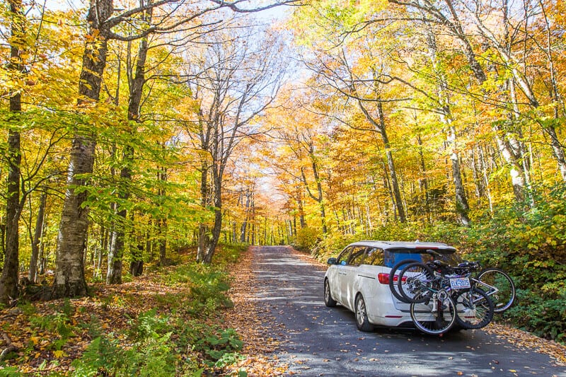
As we pulled into the parking lot at ‘The Nose,” the start of The Sunset Ridge walk up to ‘The Chin,’ otherwise known as the summit of Mount Mansfield, all the noise in our car just stopped.
The bright golden canopy of leaves covered the steep winding roads, showing us what Vermont is truly known for – foliage.
We were about to tackle Vermont’s highest peak, standing at 4,393 feet of elevation above sea level, but we were blown away before we even reached the top of the mountain – figuratively.
The lady at the toll road checkpoint told us The Sunset Ridge Trail via to The Chin, aka Mount Mansfield, would take an hour and a half… one way.
One way?
We hadn’t really scheduled in that much time for the walk and I was sure I walked faster than that. Plus, our kids were a bit whiney that day. But, as we always say with each new adventure with unpredictable children, “we’ll start and see how it goes. We can always turn back.”
This is how it went…
About The Sunset Ridge Hike to The Chin (Mount Mansfield Summit)
The Sunset Ridge Trail is a 5.1 mile (8.2-km) out-and-back trail in Underhill State Park that’s considered a challenging route, as it has an elevation gain of 774 meters and has some steep and rocky sections. There is some scrambling involved, but on a dry day, it’s not too taxing.
The average person can complete the entire hike in 4 hours, but as we are seasoned hikers, we did this a lot faster.
The trailhead begins at the parking area near Eagles Cut Trail. From here, you have to walk along a wooded path to the Sunset Ridge Trail head located at an intersection between Mountain Rd and CCC Road.
There is a trail sign pointing to the Sunset Ridge Trail, and from there you simply follow the markers up. It’s well signposted and there’s a lot of hikers who enjoy this trail, so you’ll probably pass other people.
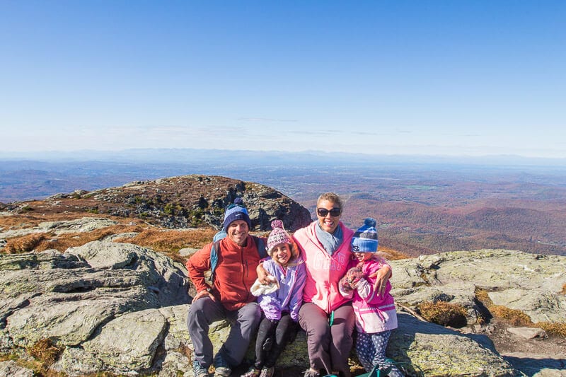
The trail starts off shaded under the canopies of the forest, and then opens up to an alpine zone where trees are stunted. Look back here for incredible views of the ridgeline, the Adirondacks looming over the treeline, and Lake Champlain in the distance!
Eventually you will encounter a junction for the Long Trail, which will take you to the summit.
Toll Road Charges:
- $35 for vehicle and…
Click Here to Read the Full Original Article at y Travel Blog…