Of all summer’s pleasures, few are as irresistible as a getaway by the water, be it an ocean, lake or city harbor. You can swim, sail, fish and partake of the age-old tradition of lazing around.
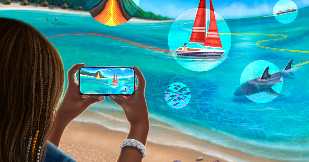
But a coastal vacation is also an opportunity for discovery. Maybe you’d like to learn how to tie fishing and boating knots? Or decipher those colorful signal flags you see on ships and in seaside shops? With the right app you can turn a holiday on the water into something deeper: identify the fish you’ve just caught or the ship that’s passing by, find out about the seashell you’ve spotted or the lake you’re diving into, explore nearby shark migrations, and study the rhythms of the moon and tides, all while keeping your toes in the sand.
Track Ships on the Horizon
Watching a ship glide into a harbor one evening I wondered aloud where it might have been. “Let’s find out,” said a friend, who then pulled out his phone and opened MarineTraffic — Ship Tracking, an app that can identify vessels near and far.
The app’s live map lets you zoom in and out of major ports and shipping routes around the world to see ships, their details and voyage routes. Each vessel is represented by a colored icon, including dark blue for passenger vessels, orange for fishing vessels, and purple for yachts and pleasure craft. For example, while looking at a Norwegian cruise ship on the Hudson River in New York, I opened the map (there’s a desktop version at MarineTraffic.com), tapped on the corresponding icon, and was immediately shown a photo of the ship with information such as its name, flag, last known port (it had been at Kings Wharf in Bermuda two days earlier), speed and status (it was moored as opposed to, say, underway, using an engine). Later, when the ship was departing, I opened the app and saw with a glance that it was now on its way to Norfolk, Va. (You can also search for a particular vessel by name.)
Cost: free; $9.99 a year for a “starter” subscription with more vessel and port information, and features like an augmented reality tool to identify ships using your smartphone camera. Note: The app uses a network of coastal Automatic Identification System (AIS) receivers to show vessel positions. It costs extra to unlock details for a vessel that’s out of its AIS range.
Try Your Hand at Boating and Knots
Planning on boating, fishing or camping this summer? Knots 3D uses color animations to teach you how to tie more than 150 knots, from those that might…
Click Here to Read the Full Original Article at NYT > Travel…