A Mount Rinjani trekking tour is not for novice hikers or casual travellers. But if you’re ready for an epic 3-day journey to the summit of the second highest volcano in Indonesia, here’s everything you need to know before you go in our guide.
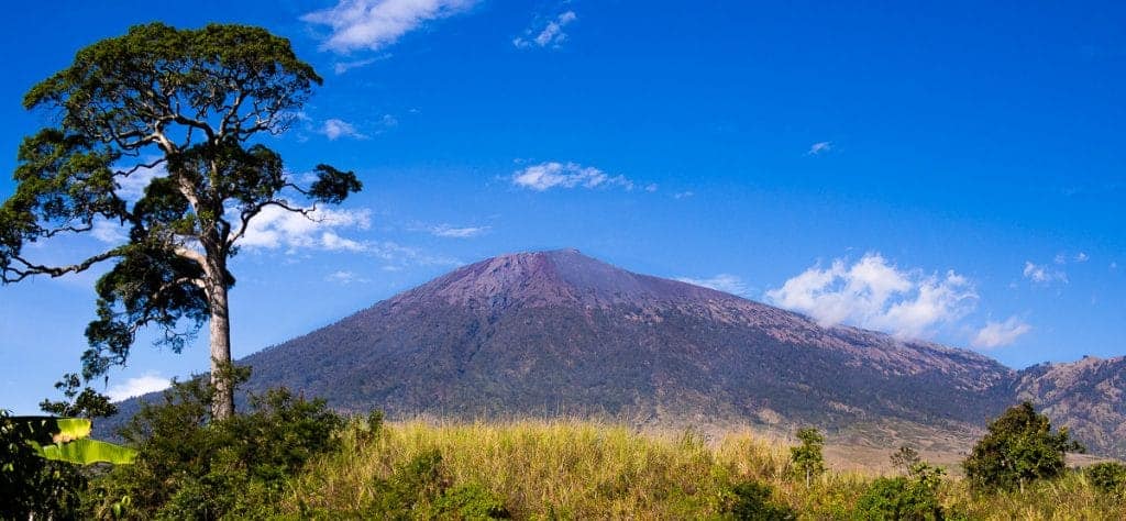
At 3,726 metres above sea level, Mount Rinjani looms large over the entire island of Lombok in Indonesia.
Of the 130 volcanoes in the country, Rinjani is the second-highest (topped only by Mount Kerinci on Sumatra).
Rinjani’s ominous silhouette is a constant reminder of the powerful forces rumbling just beneath the surface of the earth.
That power is what draws hundreds of intrepid hikers to Rinjani every day.
Why Do a Rinjani Trek?
The tough hike to the crater rim is rewarded by absolutely magnificent views.
Rocky black soil at the summit drops off into a lush valley filled with purples so deep and greens so bright they don’t look like they should exist in nature.
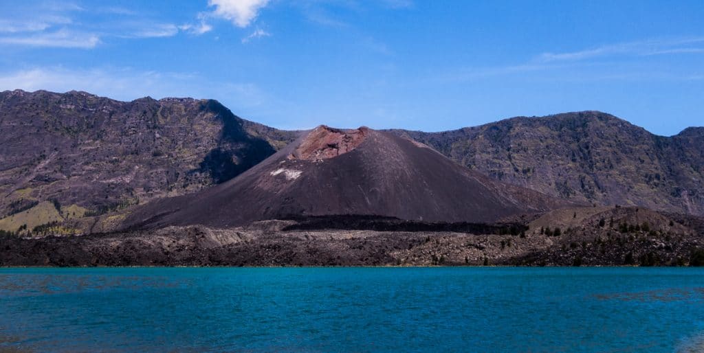
Lake Segara Anak, nestled in the bottom of the gaping crater, is a deep turquoise, echoing the spectacular colour of Lombok’s seas.
On the edge of the lake sits an active volcano, Mount Barujari, which steadily spews threatening clouds of smoke into the air.

And at night, the sky is blanketed with stars so thick they look painted on.
While the views inspire awe, the most compelling reason to trek Mount Rinjani is to challenge your body and your mind, leap firmly out of your comfort zone, and be able to shout “Hell yes, I did it!”
If that sounds good to you, read on for everything you need about…
How to Plan Your Epic Mount Rinjani Trekking Adventure
Could You Handle a Rinjani Trek?
I’ll admit, we went into the Mount Rinjani trek with a bit of a cavalier attitude. Sure, we’d read the stories about how hard it was supposed to be, but we’re experienced trekkers with decades of challenging mountain hikes behind us.
We’ve trekked all over Canada, Europe, and even in Vietnam.
How much harder could trekking Mount Rinjani possibly be?
As it turns out, trekking Rinjani is hard. Really freaking hard.
The Rinjani trek starts with a climb of 1500 m over 8 km. Most of that elevation change takes place during in the final 4 km, which take about 4 hours.
Yep, that’s just one measly kilometre an hour.
To make matters more difficult, there is next to no trail maintenance, so the route is sandy,…
Click Here to Read the Full Original Article at NOMADasaurus…
