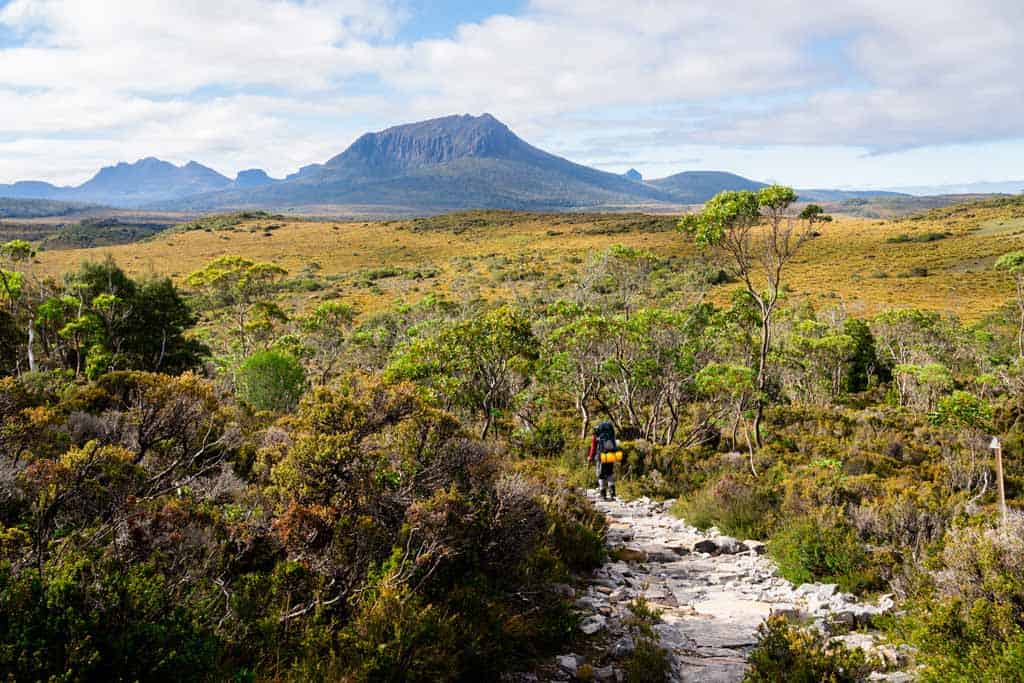
Everything you need to know about hiking the Overland Track in Tasmania, one of the top 10 multi-day hikes in all of Australia!
No other multi-day trek in Australia has the fame, reputation and global attraction that the Overland Track holds over intrepid hikers.
Stretching for 65km through the hearts of the fabled Cradle Mountain and Lake St Clair National Park, this phenomenal trekking adventure navigates alpine meadows, jagged peaks, temperate rainforests and sprawling valleys in one unbroken journey.
High in personal reward and limited in visitor numbers makes the Overland Track a bucket list experience that often changes people through self-reflection and determination.
Under the careful control of Parks and Wildlife Service Tasmania, the trail has been upgraded in recent years to include elevated boardwalks over the most environmentally-sensitive areas and modern cabins for warmth and shelter.
While it’s not on the same level as the Three Capes Track in terms of luxury, it certainly isn’t basic.
Most people trek the entire Overland Track in about 6 days, but it’s not uncommon to shorten or lengthen the time on the trail depending on your schedule and how many side trips you want to see.

The Ultimate Overland Track Hiking Guide
We spent 8 days on Tasmania’s Overland Track and managed to fit in 113km of beautiful hiking, including many of the side excursions to Cradle Mountain and more.
Cradle Mountain National Park truly is one of the best places to visit in Tasmania, and the most rewarding way to experience it is by spending a few weeks out in the wilderness.
Overland Track General Information
Here’s some basic information about the Overland Track for you to know.
- Location: Cradle Mountain National Park and Lake St Clair National Park
- Length: 65km minimum
- Time Required: 6 days on average
- Type: One-way hiking track – North to south in summer, either direction in winter
- Booking Required: October 1 to May 31
- Overland Track Permit Cost: $285
- Accommodation: Huts or camping
- Guided or Independent: Both options are available at different prices. We did independent, or you can consider the Tasmanian Walking Company.
- Northern Terminus: Ronny Creek
- Southern Terminus: Lake St Clair
- Elevation Gain: 1461m
- Elevation Loss: 1573m
- Highest point: The plateau between Marions Lookout and Kitchen Hut at 1250m
- Lowest point: Forth River crossing at…
Click Here to Read the Full Original Article at NOMADasaurus…