This post may contain affiliate links. We may receive a small commission, at no cost to you, if you make a purchase. Read Disclosure.
I’m glad that I received the wrong information about the Lower Calf Creek Falls Trail before we did it.
If I had known it was 6 miles return with an elevation of 500 feet, we may not have considered the Lower Calf Creek Falls with the kids.
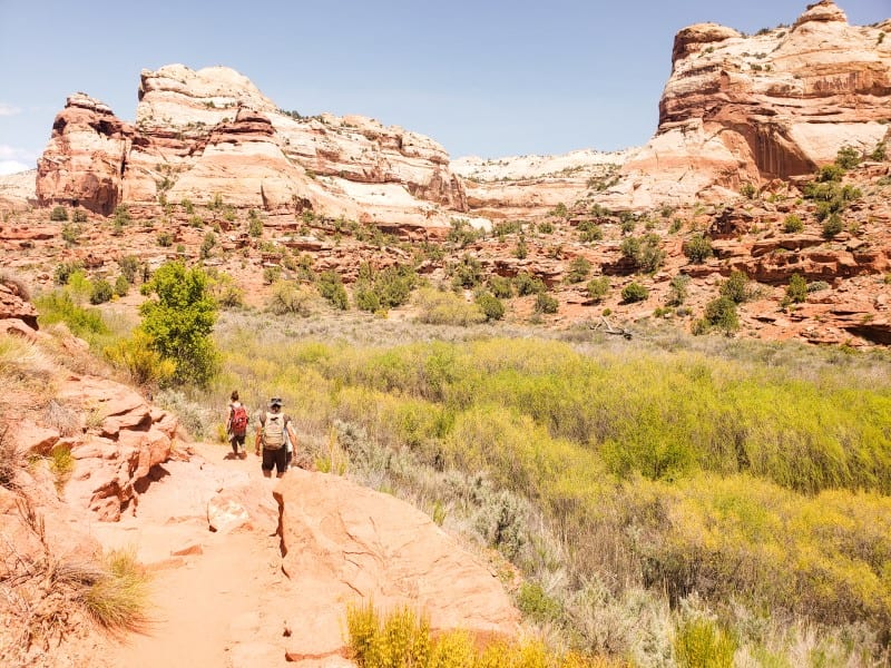
500 feet is not a great deal in elevation, but when hiking with kids for 6 miles, you notice it.
But, it proved to be a wonderful adventure and the kids loved it!
So if you’re thinking of doing the Lower Calf Creek Falls hike and not sure what to expect, strap on your hiking shoes and pack your swimmers, this is everything you need to know about one of the best hikes in Utah! (and 100% worth the effort).
Where is Upper Calf Creek Falls?
The Upper and Lower Lower Calf Creek Falls is in the Grand Staircase-Escalante National Monument in Southern Utah between Escalante and Boulder.
Grand Escalante is 1.9 million acres of canyons, cliffs and rugged landscapes offering an abundance of adventures like hiking, off-roading, camping, and scenic drives.
It’s east of Bryce Canyon National Park and southwest of Moab.
We definitely recommend incorporating this region into your Utah road trip. It was one of our favorite places we visited in Utah.
The famous scenic byway Highway 12 runs through here and is spectacular, which is where you will find the Calf Creek Falls trailhead for the Lower Calf Creek Falls, one of the best things to do in Grand Staircase Escalante.
There is a sign for Bureau of Land Management (BLM) Calf Creek Recreation Area.
Lower and Upper Calf Creek Falls
Calf Creek flows from north to south through Grand Staircase Escalante, cascading over two waterfalls before joining the Escalante River.
The two falls, Upper Calf Creek Falls and Lower Calf Creek Falls, only a few miles from each other, but you can’t access both via the same trail.
Lower Calf Creek Falls is more popular, as it is easier to access and features a larger drop than the Upper Falls. We only visited the Lower Falls.
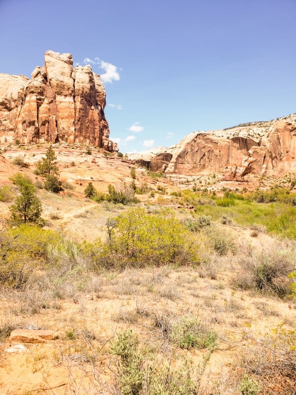
Calf Creek has carved a deep canyon into the Navajo Sandstone and Kayenta Formations, making the hike in just as beautiful as the 126-foot waterfall at the end.

About The Lower Calf Creek Hike
- Distance: 6 miles (9.6 km) round-trip
- Trail type: out and back
- Terrain: sand and…
Click Here to Read the Full Original Article at y Travel Blog…
